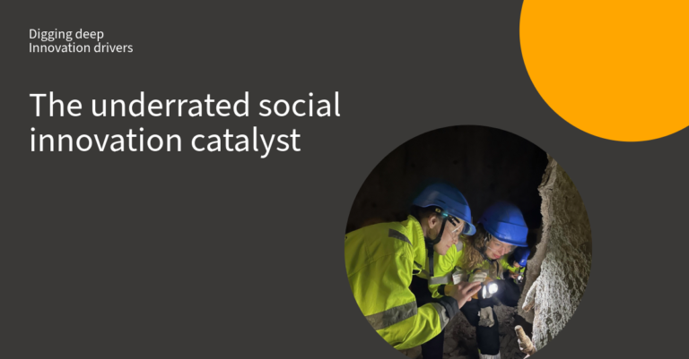
Sweden’s bedrock has strong potential, but large areas remain under-explored. To access deeper deposits of base and critical metals, improvements in exploration methods are needed. One of Swedish Mining Innovation aims has been to support research that aims to better understand ore formation and rock properties leading to more efficient mining with less environmental impact. An example of this is 4D mapping of Gällivare mining district.
Projects like these are important not just for the direct results, but for the knock-on effects and synergies they create. In this case, further collaborative R&D, such as exploring other parts of Norrbotten to determine if the same structural patterns hold true across the region and to investigate potential sources of metals for these deposits.
– Currently we are producing a common-earth model on different scales, ranging from the Kiruna mining district to all of northern Norrbotten.
Common earth modelling unifies geology and geophysics
– Geological modelling has advanced during the last years leading to a better integration of geology and geophysics. This approach is called “common-earth modelling” (CEM), and allow for more accurate geological interpretations from local to regional scale, as well as more reliable prediction and targeting in mine planning and mineral exploration from deposit to district scale, says Tobias Bauer, associate professor in Ore Geology at Luleå University of Technology.
4D geomodelling resulted in new structural maps
Swedish Mining Innovation (then SIPSTRIM), funded a project focused on understanding the structural geology of the Gällivare area and how it controls the formation of iron and copper-gold mineral deposits. The main goal was to piece together the geological history of the Gällivare mining district in collaboration with LKAB and Boliden. By doing so, the team aimed to understand how the different geological structures in the region relate to the formation of mineral deposits.
One of the most significant outcomes of the project was the creation of new structural maps of the Gällivare area, along with a detailed timeline of geological events.
Going deeper: creating models to guide operations
A key finding was that the iron and copper-gold deposits did not form at the same time and are not genetically linked. In fact, they were created during two separate events, at least 80 million years apart, and were influenced by different geological structures.
– These insights have a direct impact on how exploration and mining are conducted. Knowing which generation of geological structures is tied to certain ore types allows exploration teams to focus on the most promising areas, while also enhancing safety in mining operations, Tobias Bauer continues.


